Drone Harmony Now Supports the Entire DJI Enterprise Drone Lineup!
April 26, 2023
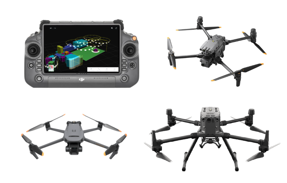
Drone Harmony has released a new update for its professional drone mission planning software for commercial use. The software now supports all new DJI Enterprise drones, including Mavic 3 Enterprise Thermal, Matrice 30 Thermal, and Matrice 300 RTK.
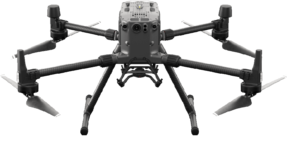
The highlight of the recent release is the new support of the DJI’s Matrice 30and Mavic 3 Enterprise, which are the most popular commercial-use drones in the DJI lineup. With the latest update, users of these drones can start enjoying all benefits of the Drone Harmony platform, from automated flight planning and execution to flight review and captured data visualization in Drone Harmony Web.
In addition to the Matrice 30 and Mavic 3 Enterprise support, the Drone Harmony app also offers improved support for DJI’s Matrice 300 drone. With the latest update, pilots can enjoy improved telemetry, updated gimbal controls, and new mission plans, supporting more complex missions.
Furthermore, Drone Harmony Mobile now includes new notifications for warnings and errors, allowing pilots to stay informed of any issues that may arise before or during a flight.
The newest update offers capabilities beyond new hardware support. One powerful new feature is the addition of new facade flight plans. These new plans allow pilots to easily capture images of building facades at fixed distances and with custom intervals along the facade. Other improvements include enhancements of the 3D planning interface and the transition to Mapbox as a map layer, providing pilots with more accurate and up-to-date map data.
Finally, the release includes a general calibration feature designed for correcting the alignment of the drone flight with the physical location of the inspected object. Calibration helps to eliminate errors caused by:
Incorrect marking/drawing of structures in the scene (e.g., when an inaccurate map layer is used to outline a building).
Errors in the GPS positioning of the drone.
Calibration is important whenever the flight is performed near objects, requiring extra accuracy in flight execution. The feature is based on placing a point of interest (POI) on a landmark in the scene (i.e., a building corner) and flying the drone manually above that position. The process is guided, and visual aids are given to help with the drone’s alignment.
In summary, the latest update for the Drone Harmony app is an exciting release for drone professionals and enterprises working with DJI’s newest hardware. With improved support for DJI’s latest drones, new mission plans, and a host of other features and improvements, Drone Harmony continues to be an essential tool for drone data capture worldwide.
Legislative Update On June 18, 2024, the House of Representatives passed the National Defense Authorization Act (NDAA), which includes the “Countering CCP Drones Act.” This bill aims to ban DJI drones by prohibiting their use of FCC communication infrastructure. However, the Senate Armed Services Committee (SASC) has recently released its marked-up version of the 2025...
We’re thrilled to announce a major update that combines all versions of our app into one streamlined platform, providing enhanced convenience and efficiency for both enterprise and professional users. Consolidation of Versions With this update, we have merged all versions of the app into a single comprehensive platform. This consolidation includes: Improved Accessibility Upon opening...
We are thrilled to announce a significant addition to our team. Adam Saciuk, with over twenty years of pioneering experience in industrial operational optimization, inspection, and drone program design, implementation, and execution, has joined Drone Harmony as the Chief Operations Officer for North America. This exciting development marks a pivotal moment in Drone Harmony’s journey...
March 2, 2024
Copyright 2024 Drone Harmony AG. All Rights Reserved.