Customer Stories

testing drone harmony

How A Professor teaches His Students Photogrammetry in a Visual and Interactive Way

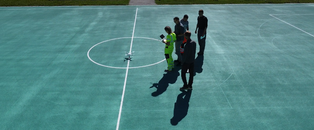
Stephan Nebiker, Professor of photogrammetry, remote sensing, and geoinformatics at the Institute of Geomatics Engineering of FHNW, uses Drone Harmony in bachelor and master photogrammetry classes. He teaches students the processes of digital aerial photogrammetry. We were invited to talk with him. Stephan, please introduce yourself. I am a photogrammetry, remote sensing, and geoinformatics professor...

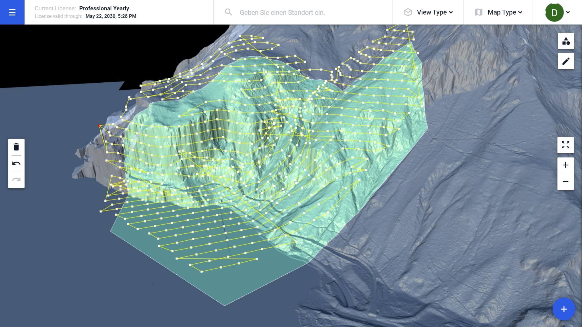
The Motion of Glaciers: Terrain Aware Scan Helps Monitoring

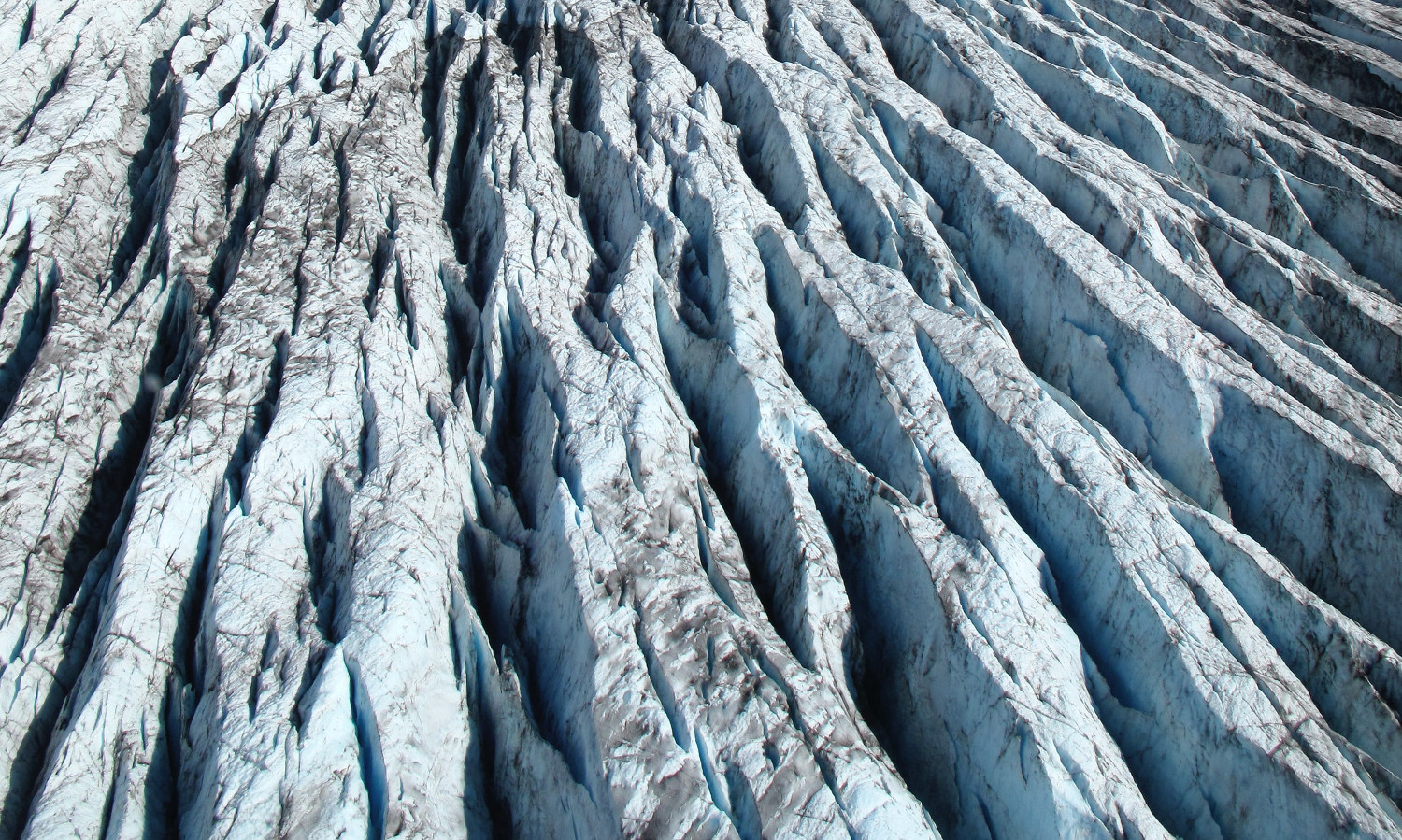
Guillaume Jouvet, Senior researcher in the Department of Geography of the University of Zurich, uses Drone Harmony’s terrain-aware data acquisition for research, monitoring, and mapping of the motion of glaciers in Greenland and Switzerland. We were invited to talk with him. Guillaume, what is your research about? As a mathematician and a glaciologist, I’m working...

Subscribe us!
Subscribe for latest updates, news and useful guides.
Subscribe to Newsletter

Ecological Research: Drone Harmony is a Great Help in Alaska

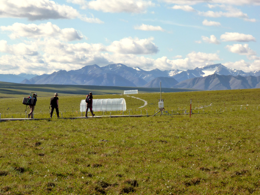
Randy Fulweber, GIS & Remote Sensing Manager for Toolik Field Station at the University of Alaska Fairbanks, makes use of Drone Harmony for research, monitoring and mapping the progression of once permanently frozen ground (permafrost) in northern Arctic Alaska. We were invited to talk with him. Randy, please introduce yourself I am the manager of...

How Swiss Federal Railways (SBB) Plans to Use Hill Scan, Drone Harmony’s Newest Technology

According to the European Railway Performance Index, Swiss Federal Railways (SBB) is Switzerland’s largest public transport and mobility company and top performer in its class. Indicative of its innovative approach to operations, SBB has established a Center of Competence for Drones to oversee a wide range of drone applications across the organization. As it stands,...