Terrain Mapping and Surveying

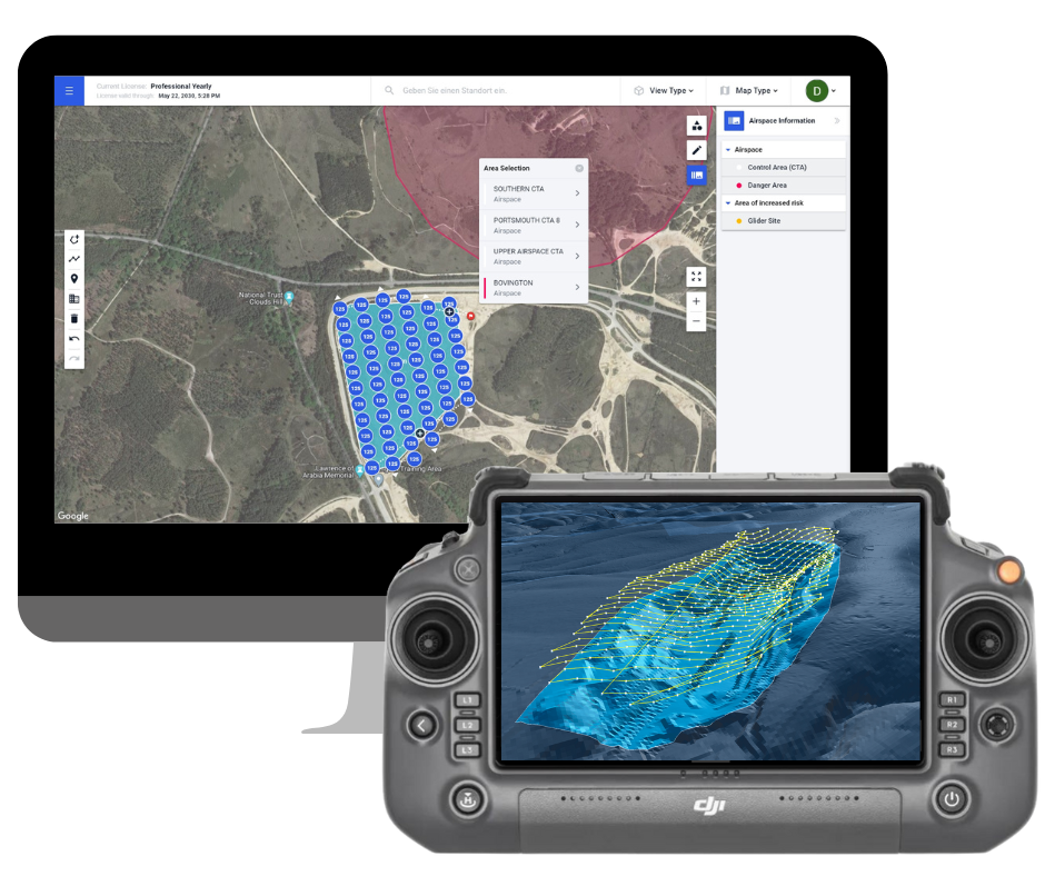
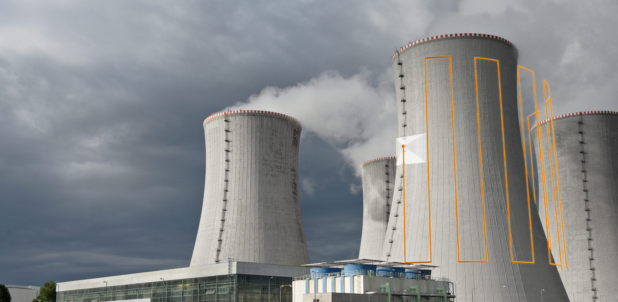
Map mines, quarries, forests, and other complex terrains with ease using the most sophisticated aerial terrain mapping features on the market. Guarantee perfect mapping results even in the most complex topographies by using custom terrain data to automate flight planning and execution.

Full coverage and careful terrain following guaranteed

Save operational costs by spending less time in the field.

Skip the climbing through rough terrain - Work with Drone Harmony instead. Your benefits:

Input Your Custom Data

Base your plans on the most accurate terrain data available. Use custom, or in-app data to represent the terrain model for your project.

Get High Quality Data

Full coverage and careful terrain following are guaranteed by optimization algorithms - even in extreme topographies, such as cliffs and steep mountains.

Full Control

Adjust high-level parameters to achieve your exact mapping goals. Combine nadir and oblique images for better mapping of complex areas.

Scalable Solution

Flight plans can be shared and repeatedly flown. Train beginner pilots in less than 30 minutes.

Visualize Terrain in 3D

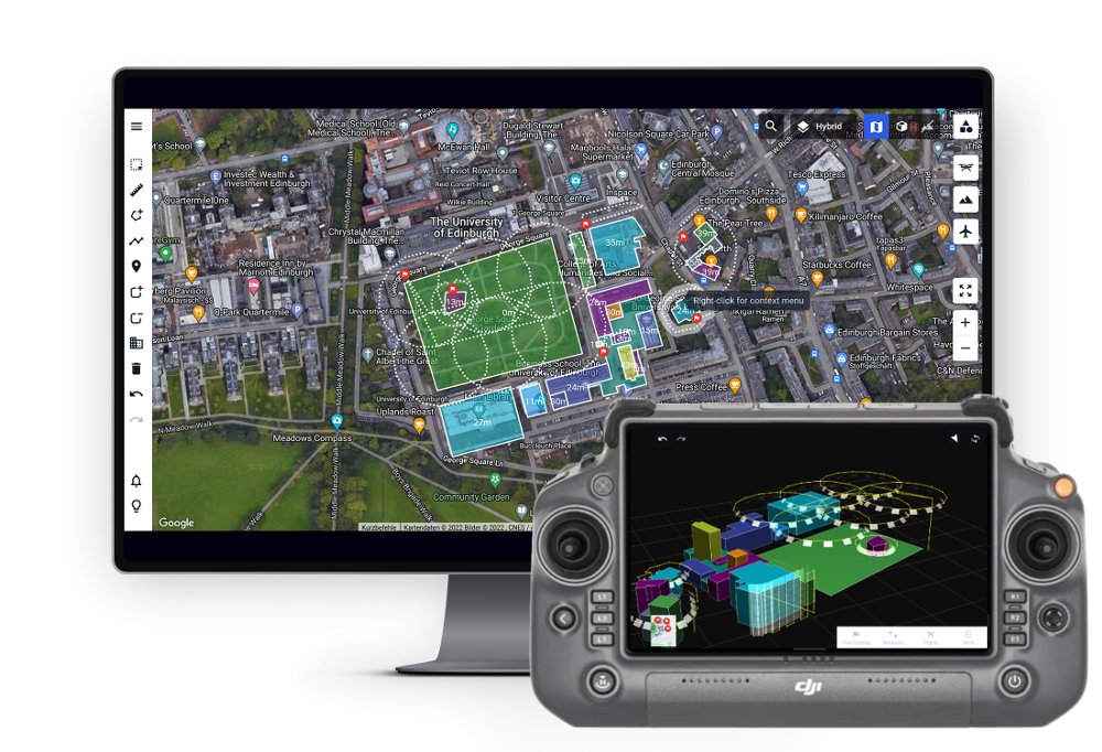
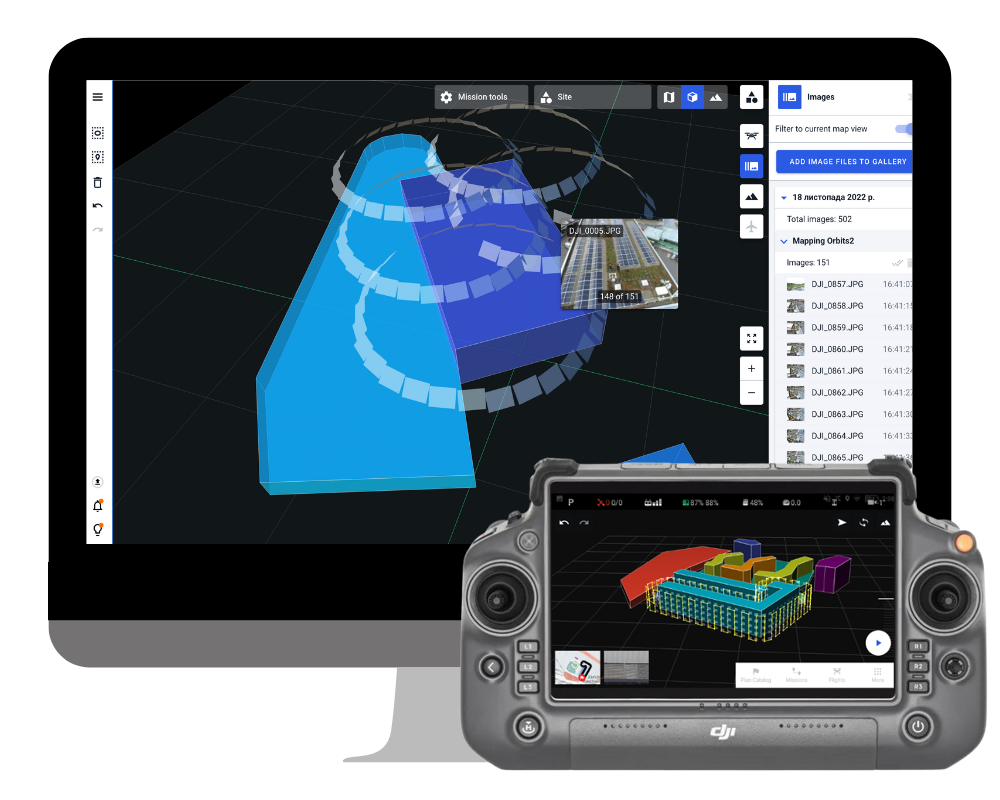
Plan and visualize both your terrain data and all flight plans in 3D in Drone Harmony Web.

Latest news about terrain mapping

Drone Harmony Now Supports the Entire DJI Enterprise Drone Lineup!

Drone Harmony has released a new update for its professional drone mission planning software for commercial use. The software now supports all new DJI Enterprise drones, including Mavic 3 Enterprise Thermal, Matrice 30 Thermal, and Matrice 300 RTK. The highlight of the recent release is the new support of the DJI’s Matrice 30 and Mavic...

Continue reading

The Motion of Glaciers: Terrain Aware Scan Helps Monitoring

Guillaume Jouvet, Senior researcher in the Department of Geography of the University of Zurich, uses Drone Harmony’s terrain-aware data acquisition for research, monitoring, and mapping of the motion of glaciers in Greenland and Switzerland. We were invited to talk with him. Guillaume, what is your research about? As a mathematician and a glaciologist, I’m working...

Continue reading

Why you should be using Drone Harmony with your DJI M300

Since its release, the DJI Matrice 300 has established itself as the go-to platform for high-end professional data acquisition. Its unmatched versatility, reliability and durability are second to none at its price point. Now it also has the perfect companion – the new Drone Harmony Mobile app. The DJI M300 platform is the ultimate productivity...

Continue reading

Partners

Become a partner Learn more

Industries

Business intelligence derived from drone data is only as good as the data that is used to generate it.