Drone Harmony Power Scanner: Advancing Power Utility Line Inspection
April 12, 2023
Drone technology is transforming the power utilities industry, enabling more efficient and cost-effective operations for inspecting and maintaining critical infrastructure. One platform that is leading the charge in this space is Drone Harmony Power Scanner, which offers a suite of advanced features designed specifically for line inspection.
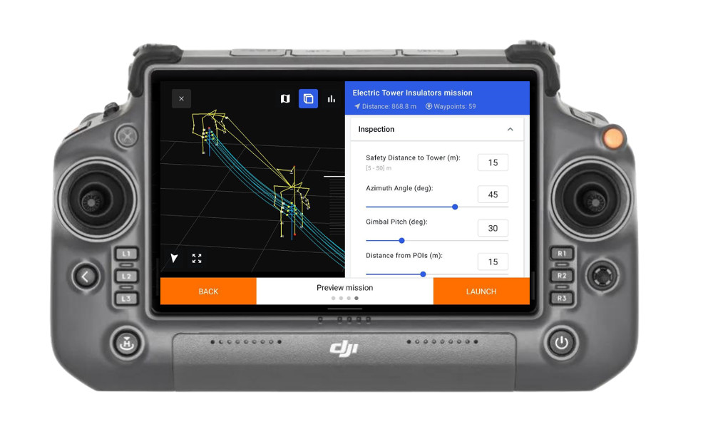
From App Launch to Drone Takeoff: A Timeframe of 1-2 Minutes
At the heart of the platform is a visual Full-3D interface that guides users through every step of the planning process. The platform generates ready-to-fly missions that are optimized for specific types of powerlines, masts, and transmission towers, ensuring that each mission is tailored to the unique requirements of the task at hand.
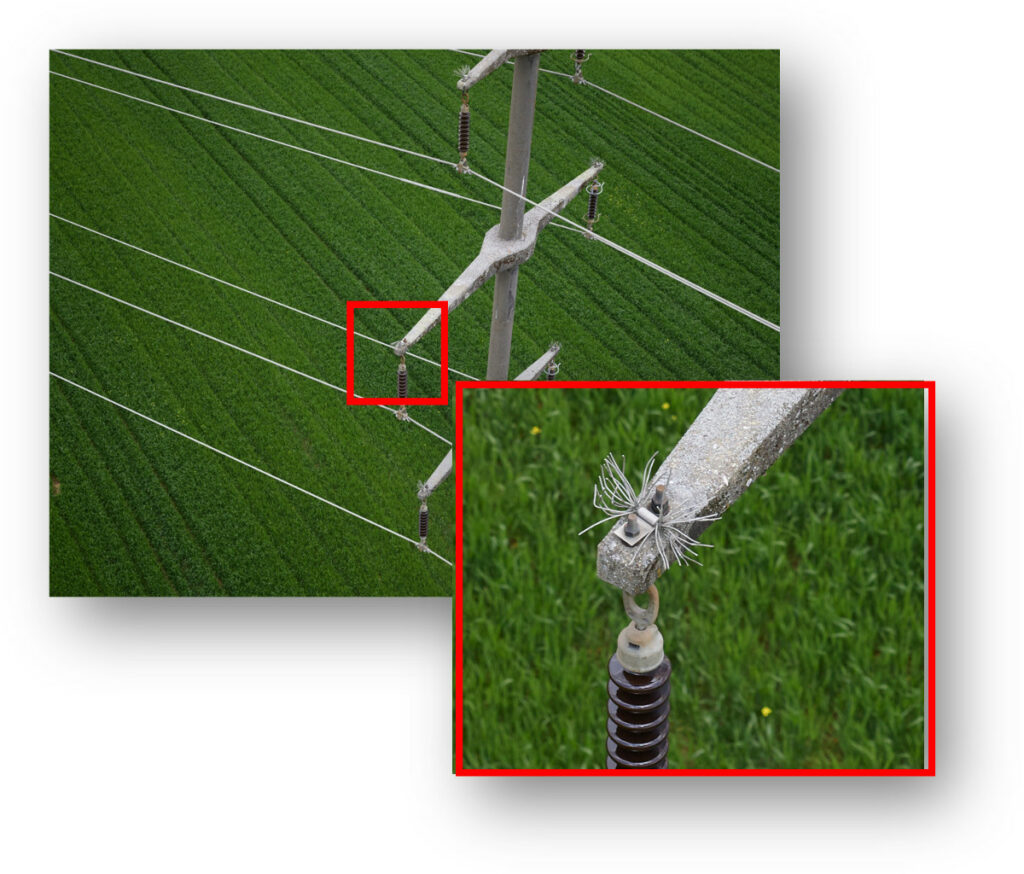
Achieving Unprecedented Flight Accuracy and Detailed Image Data
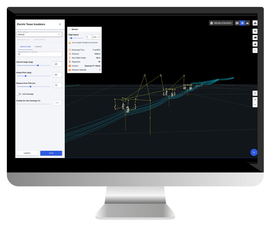
One of the standout features of Drone Harmony is its terrain-awareness capabilities, which leverage custom terrain data to optimize flight paths and ensure accurate data collection in challenging environments. Additionally, the platform supports the automated import of key file formats used in the power utilities industry, including PLS CADD, DXF, and las/laz.
Efficient and Customizable Mission Planning
Drone Harmony also supports a range of professional DJI drones and custom payloads, such as the Phase One P3, which can be used to capture high-resolution images and videos for detailed analysis. The platform’s hybrid flight modes enable zoom and manual adjustments for visual inspection to be incorporated into an automated workflow, further enhancing the efficiency and effectiveness of inspections.
Overall, Drone Harmony is a powerful tool for power utilities professionals seeking to enhance their inspection operations. Its specialized capabilities and intuitive interface make it ideal for conducting safe, efficient, and precise critical infrastructure inspections.
We’d love to hear from you! If you have any questions or want to learn more about the game-changing Drone Harmony Power Scanner and how it can transform your power utility operations, please don’t hesitate to contact us. Our expert team is always ready to assist you and provide the best possible solutions to meet your needs.
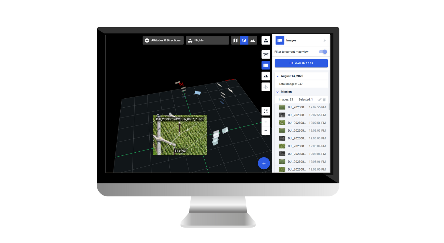
This blog post will explore the latest Drone Harmony enhancements, including the brand-new image gallery feature! Additional features include user interface improvements for large missions, floating obstacles, the ability to set speed on waypoints, and enhanced speed visualization. Let’s dive in and discover how these features can enhance your drone missions. Image Gallery: Unleash the...
Drone Harmony has released a new update for its professional drone mission planning software for commercial use. The software now supports all new DJI Enterprise drones, including Mavic 3 Enterprise Thermal, Matrice 30 Thermal, and Matrice 300 RTK. The highlight of the recent release is the new support of the DJI’s Matrice 30 and Mavic...
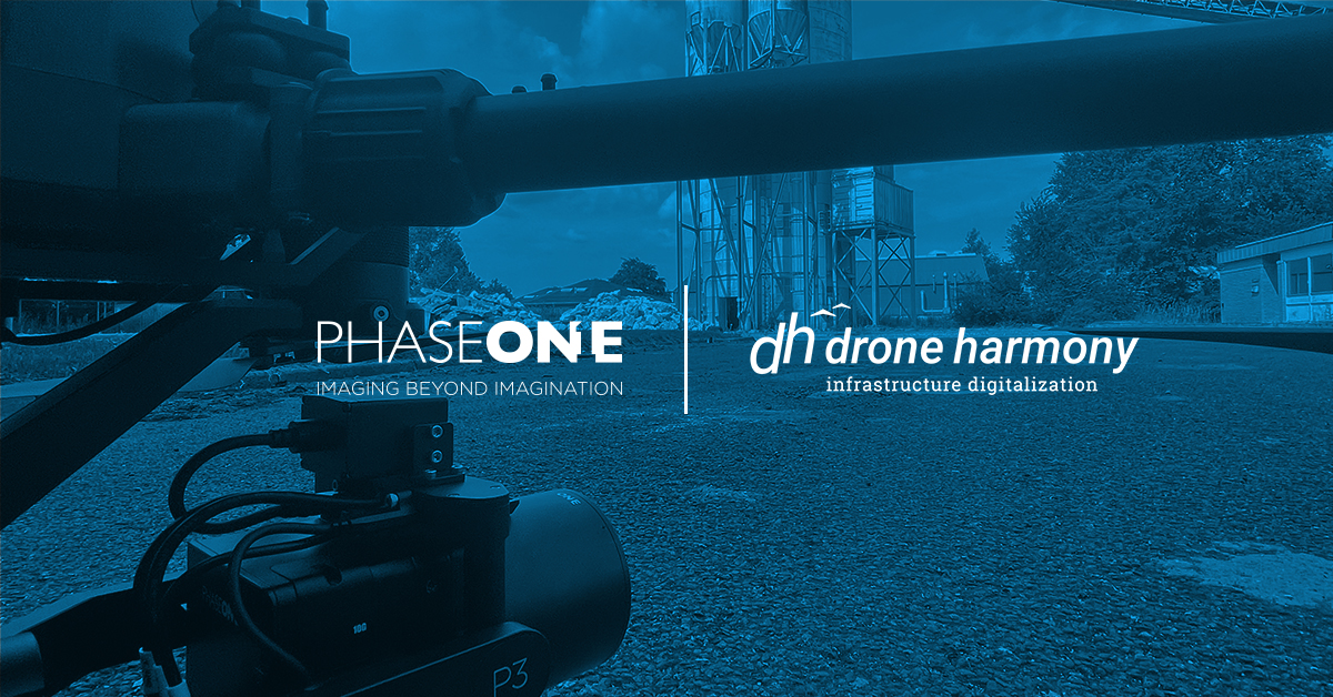
Drone Harmony and Phase One team up to deliver the best solution for high-resolution precision inspection and mapping, combining Phase One’s unparalleled image quality delivered by the P3 payload with Drone Harmony’s Data Acquisition Platform. For the full press release, visit this page. Drone Harmony now supports Phase One’s flagship payload for drone inspection and...
July 14, 2022
Copyright 2024 Drone Harmony AG. All Rights Reserved.