Platform Update: New Plans and Terrain Planning for Everyone
July 21, 2020
Terrain-aware flight planning is among the most versatile forms of automated missions planning. With the latest update, the Drone Harmony platform now offers the most advanced terrain-aware planning capabilities on the market for anyone anywhere in the world.With these major changes we have also updated our subscription plans.
The need to account for differences in elevation is among the most ubiquitous aspects of drone data acquisition. It is a key requirement in many industries from surveying through inspection of linear infrastructure to mapping of open pit mines.
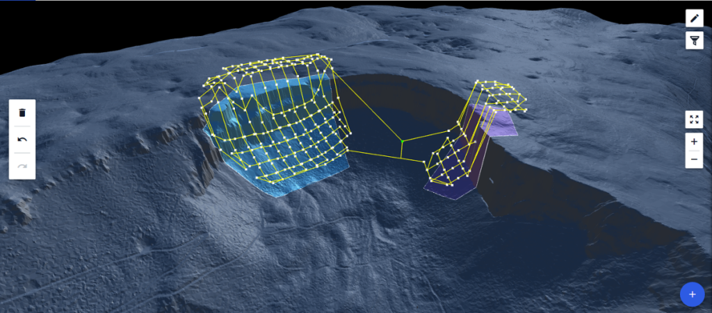
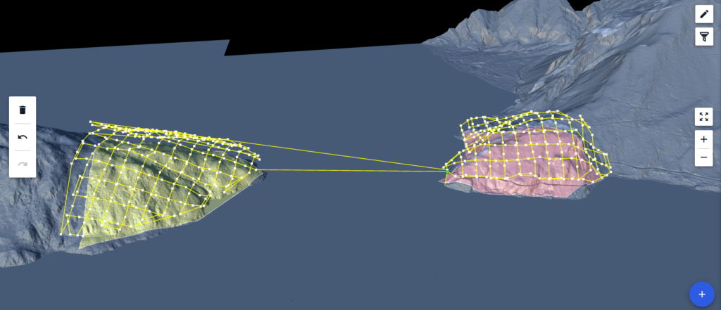
3D Terrain view provides a fully immersive 3D view of the terrain represented by the imported data (see below).
As the most basic 3D data geographic data used in drone data acquisition, the availability and use of terrain data is expanding quickly. Many organizations are compiling and updating their own terrain data sets, while large geo-spatial data providers offer terrain data globally through direct data integrations. With Drone Harmony Web, users can now profit from automated terrain-aware missions planning by using both their own custom terrain maps, as well as the newly-integrated Airbus WorldDEM 12 meter grid global data set.
In case of large terrain files, the navigation in 3D Terrain is extremely easy and intuitive: simply drag and rotate the 3D view to see different parts of the terrain, or to change the point of view.
Drone Harmony customers can upload terrain files in the geotiff (*.tif) file format to Drone Harmony in any coordinate system and accuracy. The files are then processed by the Drone Harmony Cloud and prepared for loading and mission planning in Drone Harmony Web. Customers that do not have custom terrain can profit from a global source of accurate terrain data without ever leaving the Drone Harmony application. With a few clicks in the web interface, customers can pull terrain data anywhere in the world and start planning missions.
The combination of flexible import options together with the brand new 3D Terrain view and rich new plan catalog for terrain aware flight planning in Drone Harmony Web makes it the most comprehensive tool for mapping and inspection in complex terrains. Furthermore, larger organizations with massive amounts of terrain data can profit from a built-in terrain streaming feature in Drone Harmony Web. This feature enables such customers to work with huge terrain models hassle-free, without the need to load terrain models in parts and worry about memory and processing limits.
To reflect the new features and capabilities, we have also updated our subscription plans. For all details on the new changes see our pricing page.
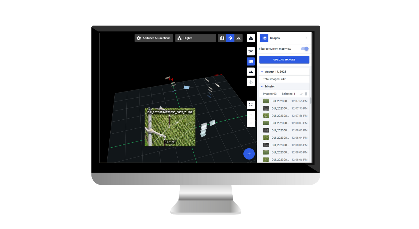
This blog post will explore the latest Drone Harmony enhancements, including the brand-new image gallery feature! Additional features include user interface improvements for large missions, floating obstacles, the ability to set speed on waypoints, and enhanced speed visualization. Let’s dive in and discover how these features can enhance your drone missions. Image Gallery: Unleash the...
Drone Harmony has released a new update for its professional drone mission planning software for commercial use. The software now supports all new DJI Enterprise drones, including Mavic 3 Enterprise Thermal, Matrice 30 Thermal, and Matrice 300 RTK. The highlight of the recent release is the new support of the DJI’s Matrice 30 and Mavic...
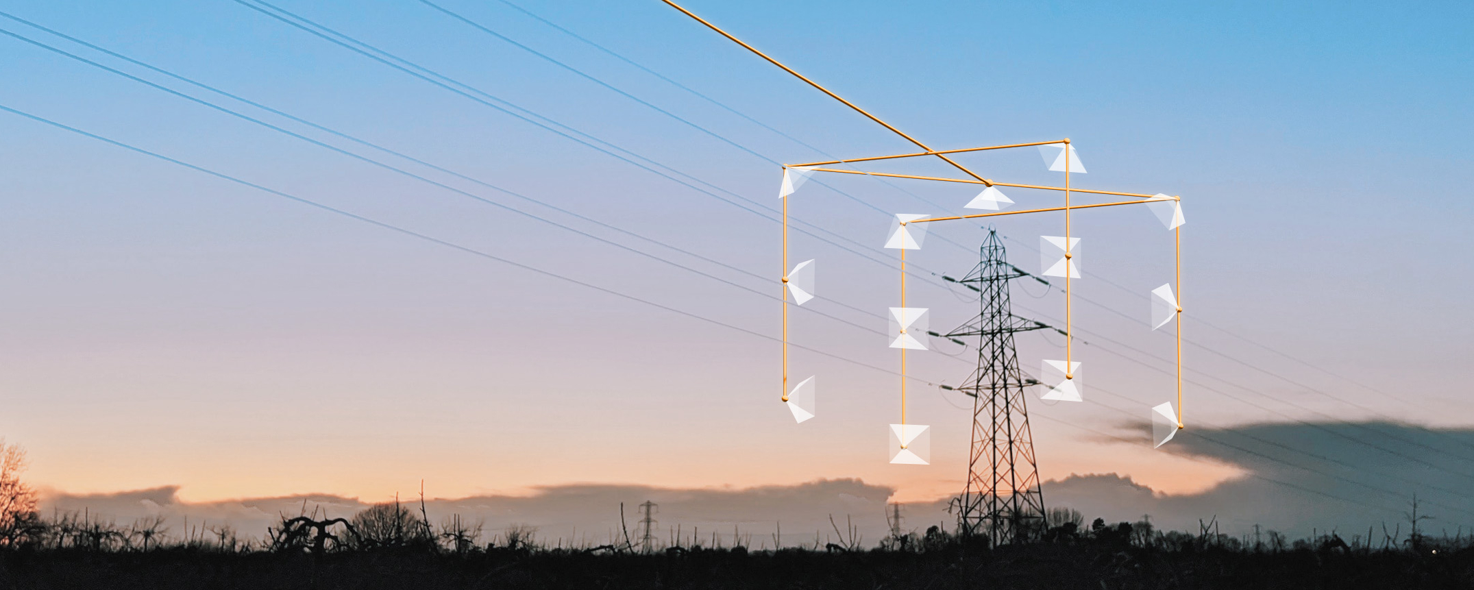
Drone technology is transforming the power utilities industry, enabling more efficient and cost-effective operations for inspecting and maintaining critical infrastructure. One platform that is leading the charge in this space is Drone Harmony Power Scanner, which offers a suite of advanced features designed specifically for line inspection. At the heart of the platform is a...
April 12, 2023
Copyright 2024 Drone Harmony AG. All Rights Reserved.