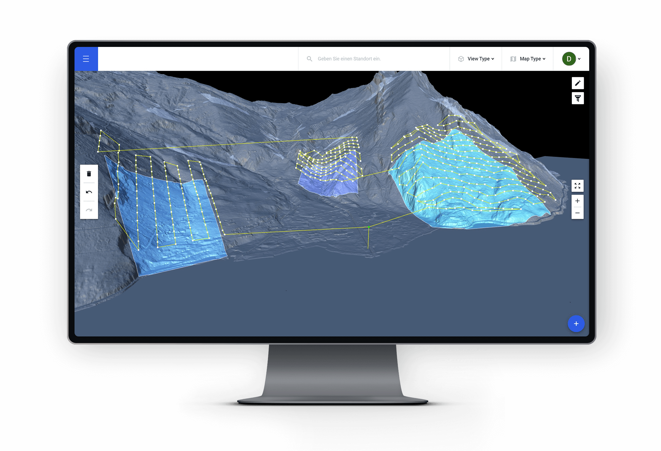
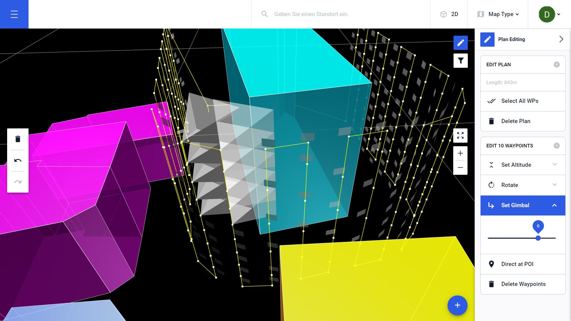
Our new terrain workflow makes planning with a multitude of models a breeze
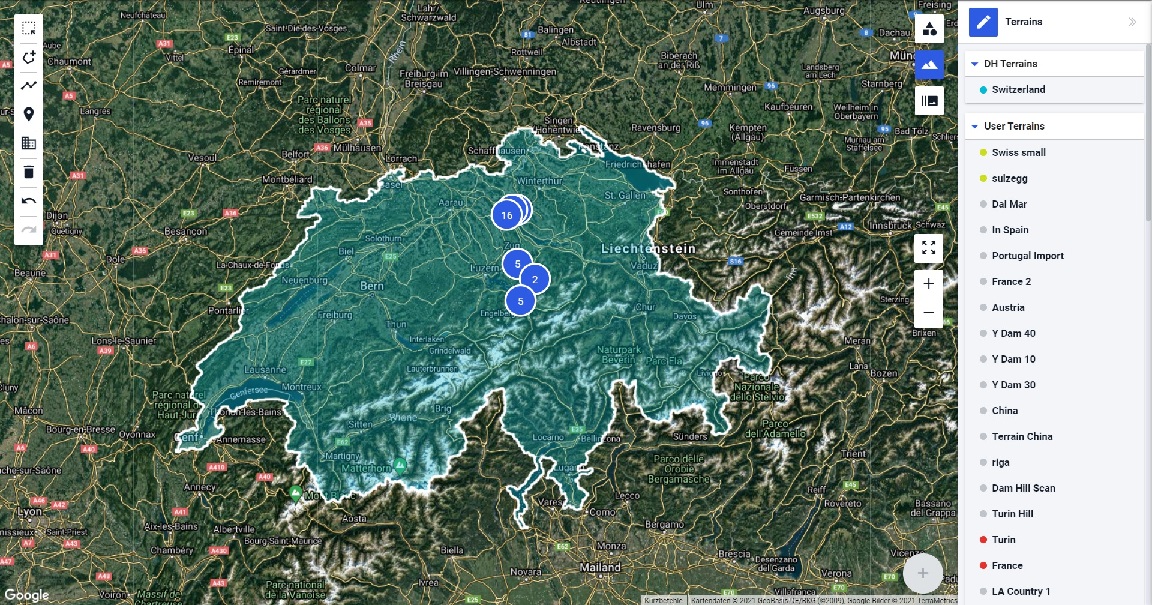
Drone Harmony’s new terrain interface lets you use digital elevation and surface models as easily as you’re using the map layer. The new interface is not just a more comfortable way of using your own models, but it also unlocks the possibility to utilize a host of high-quality country-wide data sets for drone flight planning,...
July 6, 2021

