Ecological Research: Drone Harmony is a Great Help in Alaska
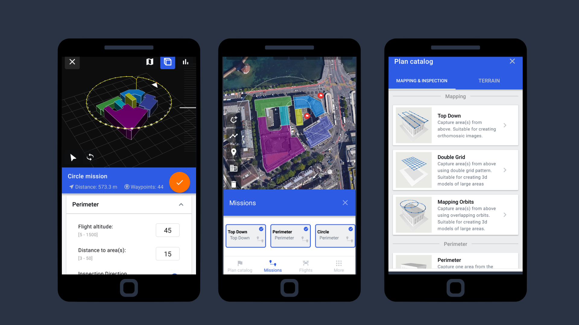
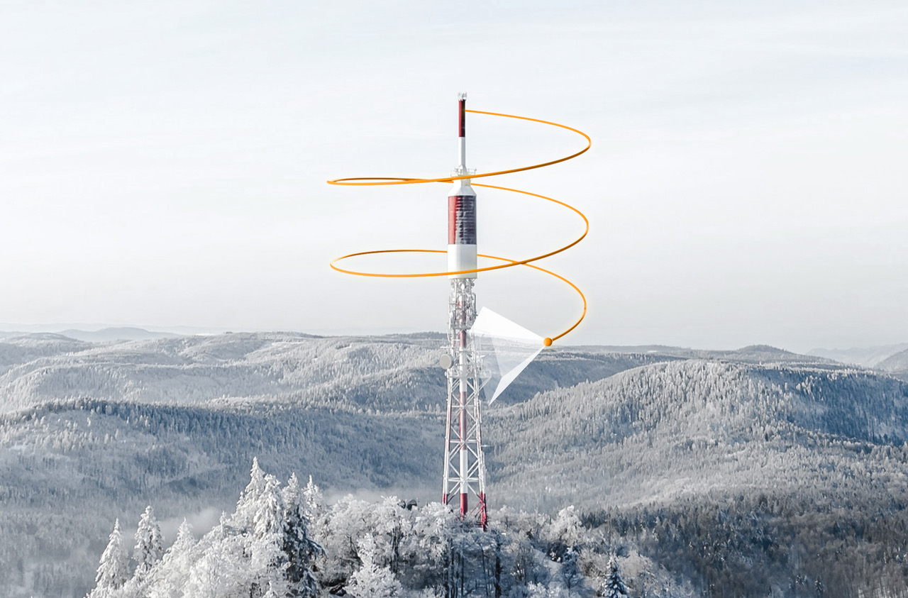
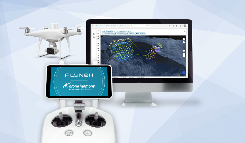
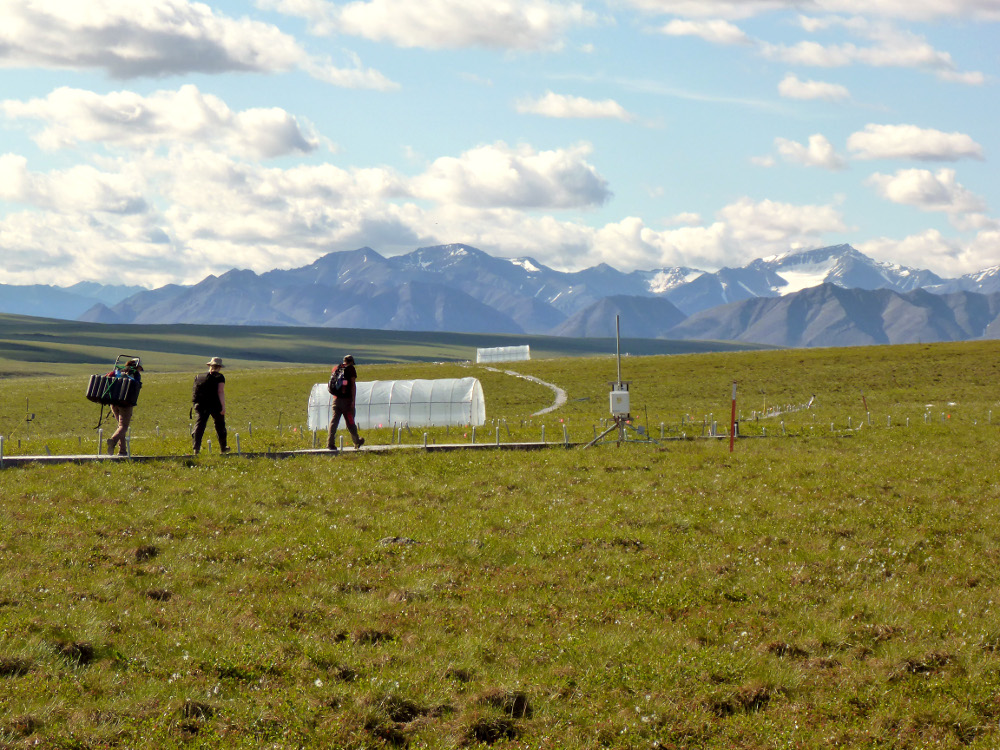
Randy Fulweber, GIS & Remote Sensing Manager for Toolik Field Station at the University of Alaska Fairbanks, makes use of Drone Harmony for research, monitoring and mapping the progression of once permanently frozen ground (permafrost) in northern Arctic Alaska. We were invited to talk with him. Randy, please introduce yourself I am the manager of...
May 6, 2022