Power Scanner - Powerline Inspection
Drone Harmony Power Scanner: Advancing Power Utility Line Inspection
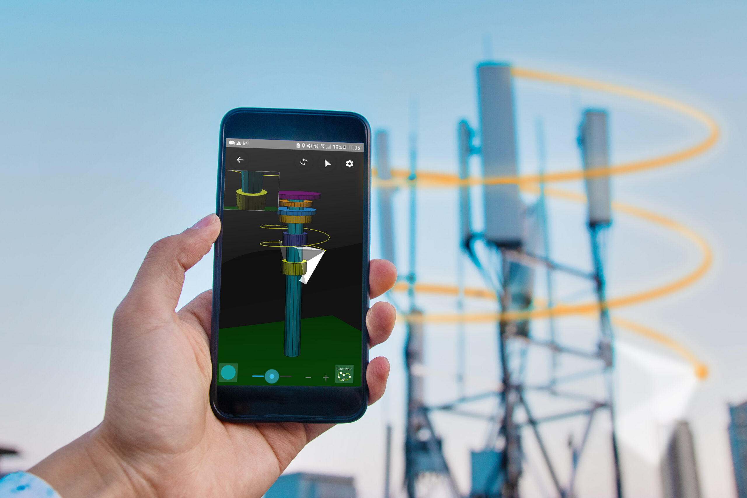
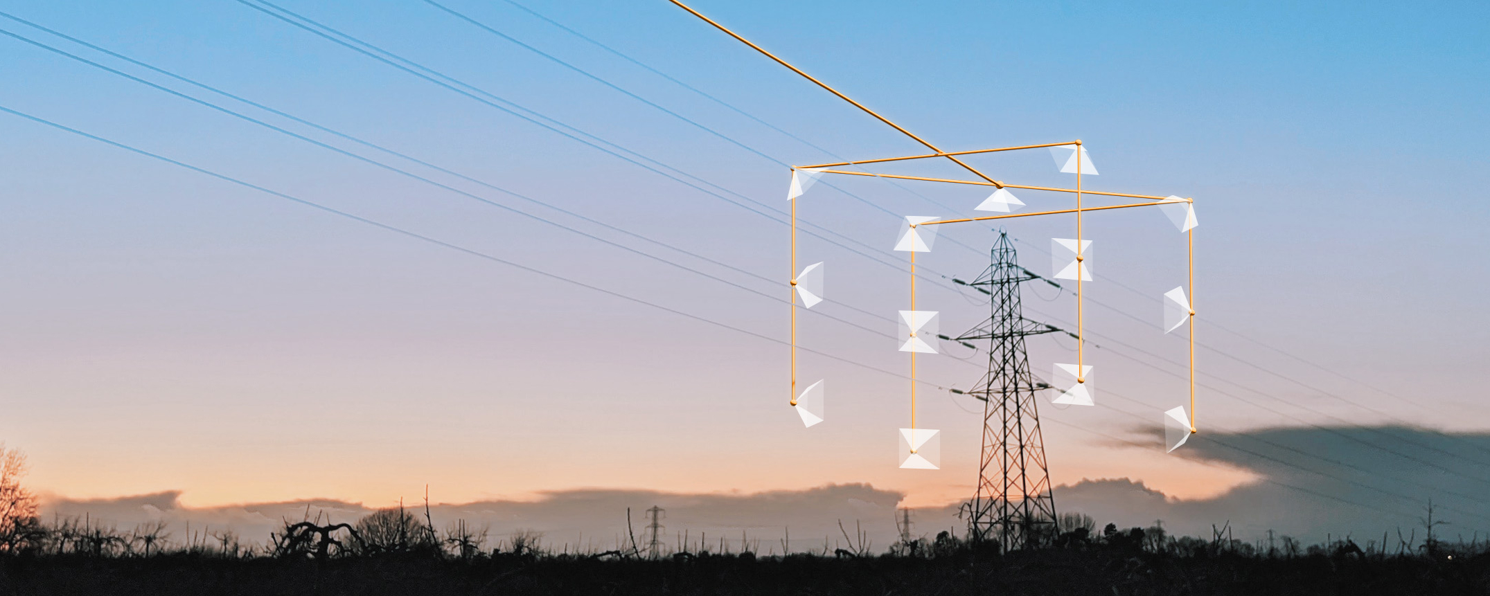
Drone technology is transforming the power utilities industry, enabling more efficient and cost-effective operations for inspecting and maintaining critical infrastructure. One platform that is leading the charge in this space is Drone Harmony Power Scanner, which offers a suite of advanced features designed specifically for line inspection. At the heart of the platform is a...
April 12, 2023