The Drone Harmony scene is the base of the mission planning workflow in Drone Harmony and setting it up is the first step in the workflow. Polygons and polygonal lines are an important basic primitive used in Drone Harmony to model assets and obstructions.
There are two basic ways of adding polygon and line primitives to the scene in both Drone Harmony Mobile and Drone Harmony Web: outlining using tools and importing from a KML/KMZ file.
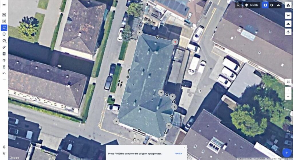
The easiest way, and the one requiring no additional data files, is that of outlining a polygon, or line using a tool in the map interface. This is achieved by selecting the tool and then selecting the corner points of the polygon or line:
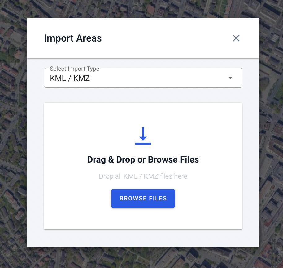
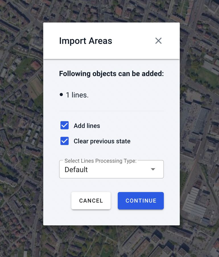
It is also possible to import polygons and lines using a KML/KMZ file. The file can contain any number of polygons and lines and it is possible to import any number of files into one state:
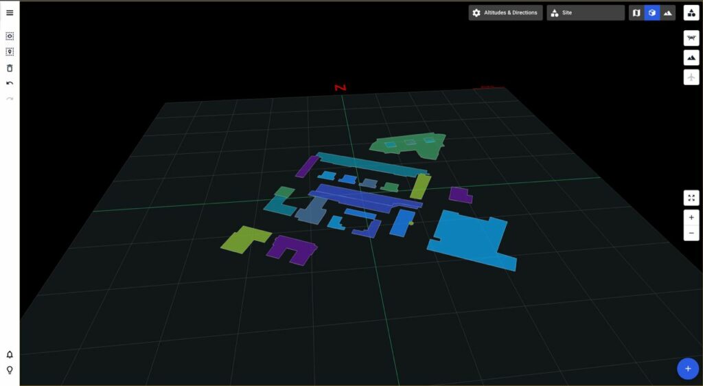
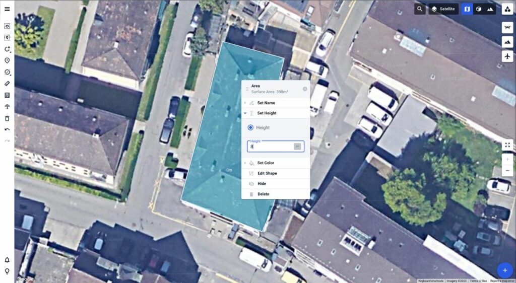
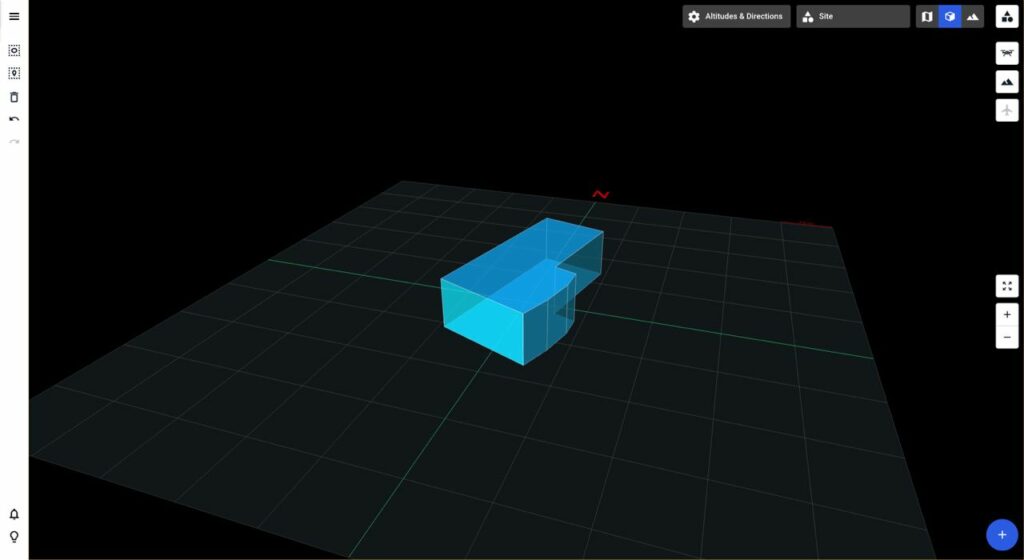
Recall that you can give polygons the third dimension to model buildings, no-fly zones, obstructions and other vertical primitives: