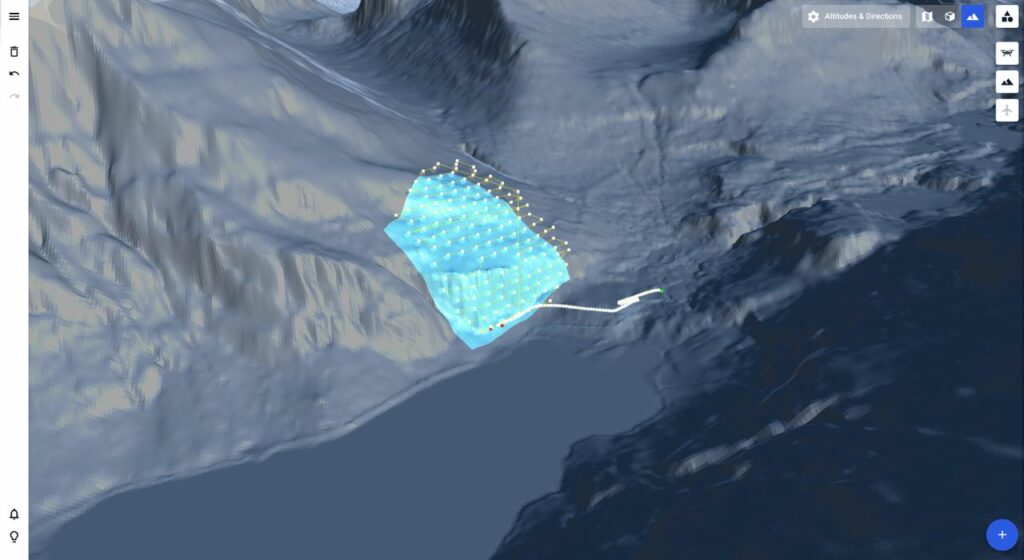
Terrain-aware flight planning is a way to use terrain models to adjust drone flight plans. Using terrain-aware planning is particularly important when the flights are performed in areas with significant elevation changes, such as in the mountains, or on industrial sites, such as open pit mines.
It is also important to use terrain when inspecting or mapping very large assets, as small changes in the terrain accumulate to large overall changes across large distances.
Typical use cases for terrain-aware flight planning include mapping and inspection of mines, linear infrastructure (such as power lines, railroads, etc.), precision agriculture, and more.