If you are not yet familiar with the Drone Harmony workflow, please read this short post.
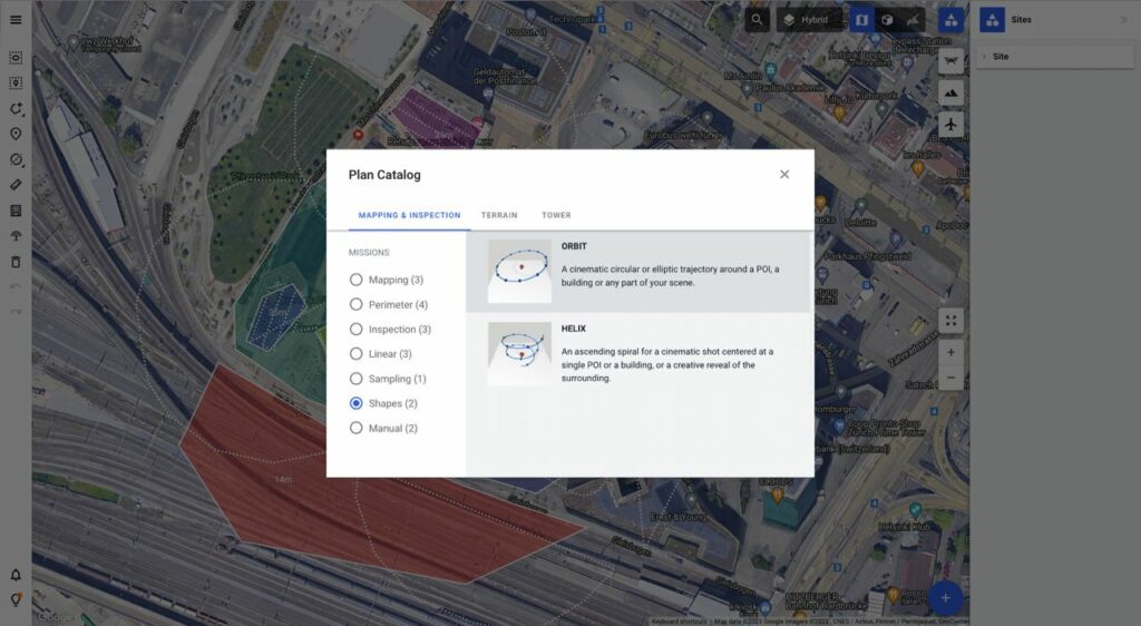
The plan catalog includes a collection of patterns that you can apply to generate missions for assets in your Drone Harmony scene. Although they share a lot in common, the missions in the plan catalogs in Drone Harmony Mobile and Drone Harmony Web are different. The exact missions available depend on what types of scene can be created in each interface. For example, for working with large terrain models, the ability to upload and manage terrain files in Drone Harmony Cloud through the web browser is needed. Thus, most terrain aware flight planning is only available in Drone Harmony Web.
The missions in the plan catalog are typically sorted in tabs according to application domain (e.g. Mapping, Perimeter, Inspection etc.) and by data type (e.g. Terrain). Thus, if you would like to plan a terrain-aware mission for the terrain data loaded in the scene, you should use the “Terrain” tab and pick a mission from there.


